 ↗
↗Sport & production
Drifting
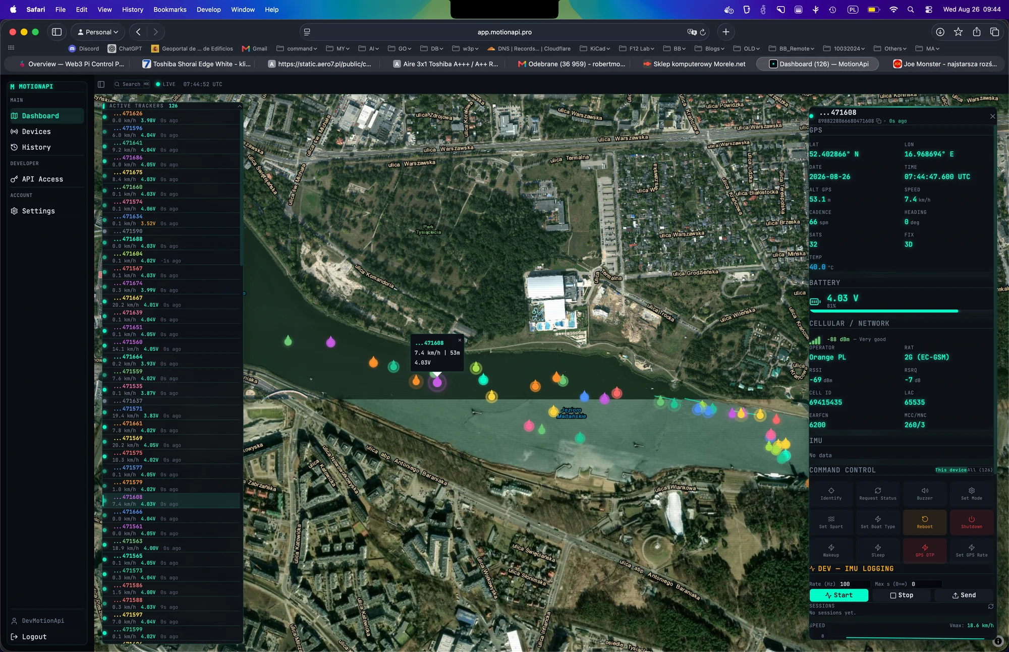
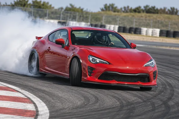
Bring each drift run onto the map. Review the car’s line and speed, align movement with video and feed telemetry into broadcast graphics through the API.
YOUR PROJECT, TAILOREDChoose mounting and recording rates for the course. Drift-angle measurement and judging scores require a separately validated measurement workflow.
Discuss this idea ↗ Application illustration · Deployment scoped to your needs.
 ↗
↗Agriculture & nature
Coordinated agricultural fieldwork
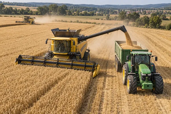
Bring combine harvesters, tractors and support vehicles onto one map so teams can coordinate fieldwork and meet at the right place.
YOUR PROJECT, TAILOREDAdd field maps and connect assignments to your farm workflow. Validate mounting, power and coverage; vehicle controls remain with the machines.
Discuss this idea ↗ Application illustration · Deployment scoped to your needs.
 ↗
↗Sport & production
Marathons & mass-participation races
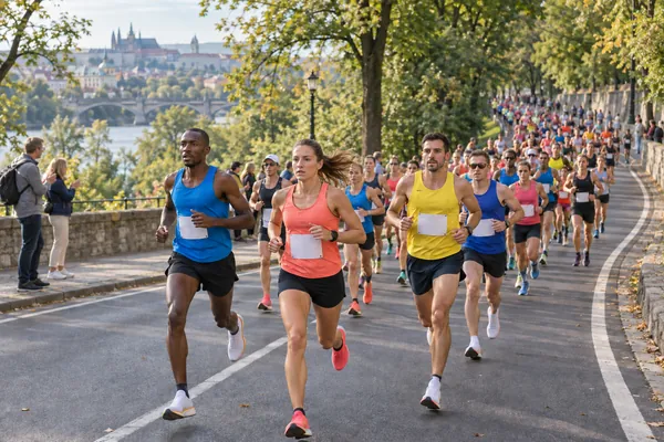
Follow participating runners across the course, review recorded routes and feed positions into a spectator map through the API.
YOUR PROJECT, TAILOREDPlan tracker allocation, update rates and course coverage. Connect the spectator map to your event systems; official timing is handled separately.
Discuss this idea ↗ Application illustration · Deployment scoped to your needs.
 ↗
↗Sport & production
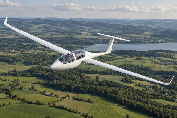
Sailplanes & gliding
Bring sailplane flight tracks, altitude changes and ground speed into a shared view. Review training flights or connect available positions to a club’s own map through the API.
YOUR PROJECT, TAILOREDValidate antenna placement, recording settings and airborne mobile coverage. The integration provides an additional movement record alongside the aircraft’s flight instruments.
Discuss this idea ↗ Application illustration · Deployment scoped to your needs.
 ↗
↗Sport & production
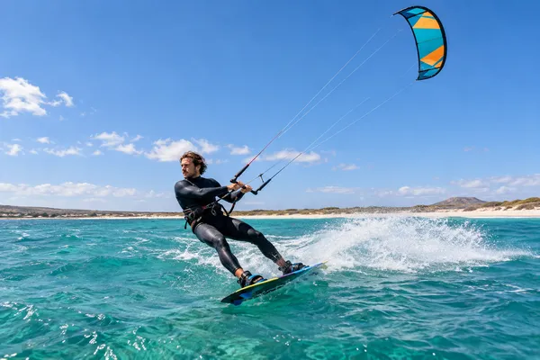
Kitesurfing
Put each tack, turn and speed run on the map. Review sessions from the beach or connect rider positions to coaching tools and event graphics.
YOUR PROJECT, TAILOREDPrepare secure mounting and water protection, then check coverage across the sailing area. Session comparisons and event graphics are tailored through your integration.
Discuss this idea ↗ Application illustration · Deployment scoped to your needs.
 ↗
↗Industry & terminals
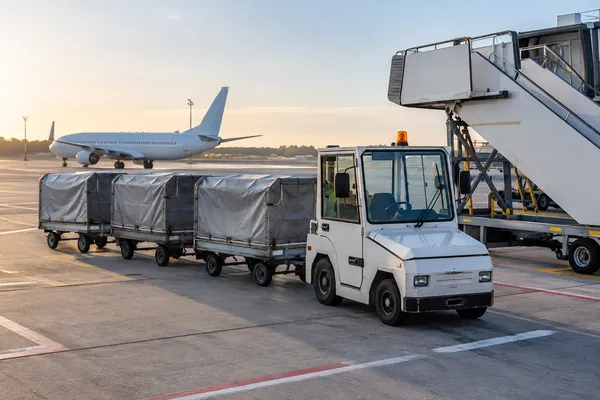
Airport ground-support equipment
Explore locating baggage carts, stairs, tow bars and other shared equipment on outdoor operating areas.
YOUR PROJECT, TAILOREDAdapt durability, power and inventory integration. Hangar positioning needs an additional technology.
Discuss this idea ↗ Application illustration · Deployment scoped to your needs.
 ↗
↗Sport & production
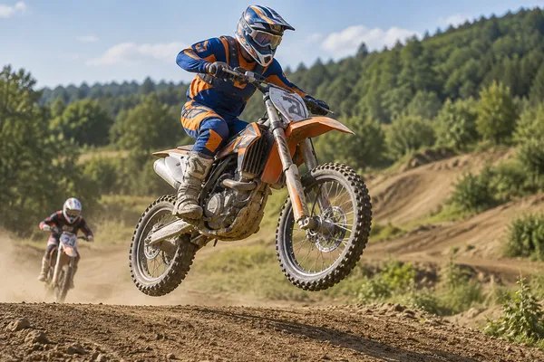
Motocross
Follow riders around the dirt track, compare speed through different sections and revisit training runs alongside video.
YOUR PROJECT, TAILOREDPlan secure mounting, protection from mud and vibration, and suitable recording rates. Lap and section comparisons need track-specific analysis.
Discuss this idea ↗ Application illustration · Deployment scoped to your needs.
 ↗
↗Sport & production
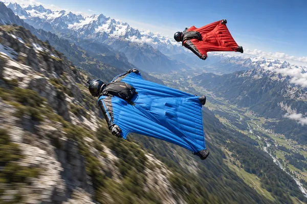
Skydiving & wingsuit flying
Explore freefall and wingsuit flight paths, altitude profiles and ground speed. Align recorded movement with training footage and bring available positions into drop-zone tools.
YOUR PROJECT, TAILOREDMatch recording rates and mounting to the jump, and test connectivity throughout the descent. This is a supplementary analysis tool alongside dedicated jump instruments.
Discuss this idea ↗ Application illustration · Deployment scoped to your needs.
 ↗
↗Art & exhibitions
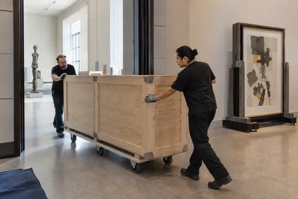
Artwork & exhibition shipments
Explore an additional view of where a specialist shipment travels between collections and venues.
YOUR PROJECT, TAILOREDPilot location visibility first. Humidity, shocks and crate conditions need suitable sensors and validation.
Discuss this idea ↗ Application illustration · Deployment scoped to your needs.
 ↗
↗Sport & production
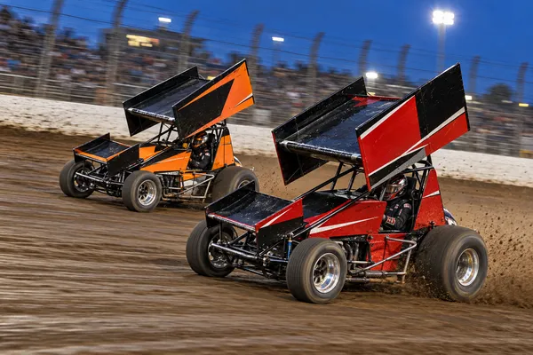
Winged sprint car racing
Follow winged sprint cars around the dirt oval, review racing lines and corner speeds, and connect each run to onboard video. Feed movement data into team tools or broadcast graphics through the API.
YOUR PROJECT, TAILOREDValidate mounting against dust and vibration, track coverage and recording rates for short laps. Racing-line comparisons depend on positioning accuracy; official timing uses dedicated equipment.
Discuss this idea ↗ Application illustration · Deployment scoped to your needs.
 ↗
↗Sport & production
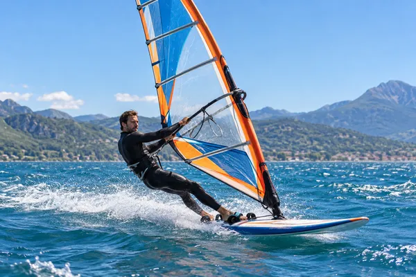
Windsurfing
Review speed and course changes across a windsurfing session. Compare recorded runs and give coaches or race audiences a view of movement on the water.
YOUR PROJECT, TAILOREDSelect water protection, mounting and recording settings for the conditions. Align course sections and timestamps when comparing runs or adding video.
Discuss this idea ↗ Application illustration · Deployment scoped to your needs.
 ↗
↗Research & field science
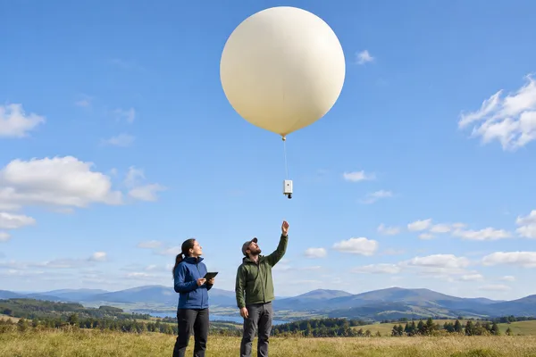
Weather balloons
Explore an additional record of a research balloon’s position and altitude, and use received locations to support payload recovery after landing.
YOUR PROJECT, TAILOREDValidate the altitude and temperature envelope, power and payload setup. Airborne mobile coverage must be tested; meteorological measurements require separate sensors.
Discuss this idea ↗ Application illustration · Deployment scoped to your needs.
 ↗
↗Sport & production
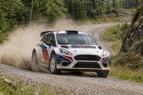
Rally racing
Follow rally cars along special stages, review speed through corners and connect each run to onboard video. Bring available positions into team dashboards or spectator maps through the API.
YOUR PROJECT, TAILOREDPlan secure mounting, recording rates and coverage checks across remote stages. Live updates depend on connectivity; stage comparisons are tailored alongside the event’s official timing system.
Discuss this idea ↗ Application illustration · Deployment scoped to your needs.
 ↗
↗On the water
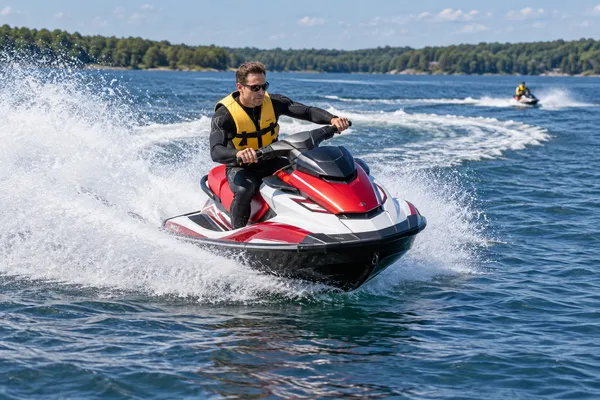
Jet skis & personal watercraft
Give the shore team a view of watercraft positions and recorded routes. Support rental operations, guided outings or training with data in your own application.
YOUR PROJECT, TAILOREDPlan water protection, mounting and power, and check mobile coverage on the water. Rental status, return workflows and zone alerts require application logic.
Discuss this idea ↗ Application illustration · Deployment scoped to your needs.
 ↗
↗Sport & production
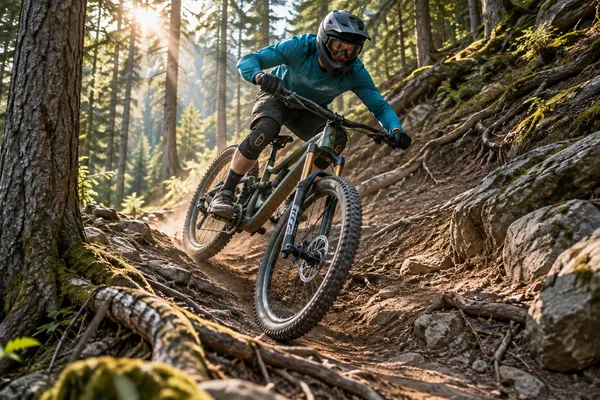
Downhill mountain biking
See the route from the start gate to the finish. Review speed on descents, compare runs and connect rider positions to event or coaching tools.
YOUR PROJECT, TAILOREDCheck reception under tree cover, mounting and update rates. Build segment comparisons and video synchronisation around the recorded data.
Discuss this idea ↗ Application illustration · Deployment scoped to your needs.
 ↗
↗Sport & production
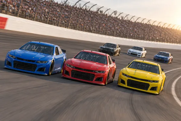
Stock car & oval racing
Bring NASCAR-style stock car racing onto a shared track map. Review speed around the banking, compare recorded laps and deliver car positions to your own race dashboard or broadcast graphics through the API.
YOUR PROJECT, TAILOREDMatch recording rates to racing speed and validate antenna placement inside the car. Lap analysis and video alignment are tailored to the event, alongside its official timing system.
Discuss this idea ↗ Application illustration · Deployment scoped to your needs.
 ↗
↗Sport & production
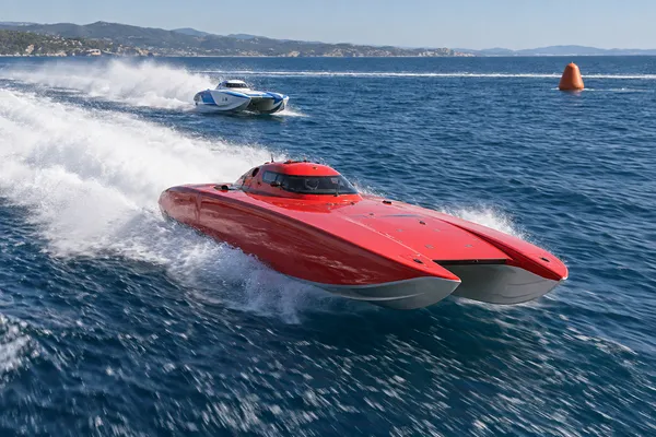
Speedboat racing
Follow racing boats around the course, review speed through turns and feed positions into live race maps or broadcast graphics through the API.
YOUR PROJECT, TAILOREDPlan mounting for vibration and spray, verify course coverage and tune recording rates. Lap analysis and production feeds are scoped to the event.
Discuss this idea ↗ Application illustration · Deployment scoped to your needs.
 ↗
↗Fleets & services
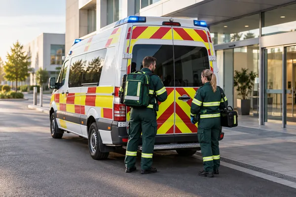
Ambulances & medical transport
Provide vehicle locations and journey history as an additional source of information for dispatchers.
YOUR PROJECT, TAILOREDIntegrate assignments and crew availability with the operator’s system, and validate the setup for continuous use.
Discuss this idea ↗ Application illustration · Deployment scoped to your needs.
 ↗
↗Sport & production
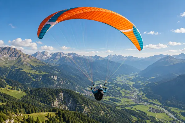
Paragliding & air sports
Explore flight paths, altitude changes and ground speed for paragliding, hang-gliding and powered paragliding. Bring available positions into your own flight map through the API.
YOUR PROJECT, TAILOREDValidate mounting, flight conditions and airborne mobile coverage. GNSS ground speed is different from airspeed; the tracker is an additional data source alongside flight instruments.
Discuss this idea ↗ Application illustration · Deployment scoped to your needs.
 ↗
↗Sport & production
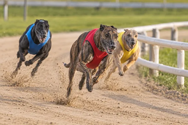
Dog racing
Review a racing dog’s route and speed during training or race runs. Connect movement data to video and build session comparisons for trainers.
YOUR PROJECT, TAILOREDAgree a suitable attachment with trainers and organisers. Validate recording rates and positioning resolution for short runs and closely spaced dogs.
Discuss this idea ↗ Application illustration · Deployment scoped to your needs.
 ↗
↗Sport & production
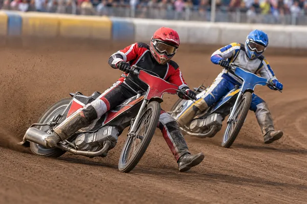
Motorcycle speedway
Follow riders around the oval, review speed through the bends and connect race telemetry to coaching analysis or broadcast graphics.
YOUR PROJECT, TAILOREDSelect a secure mounting position and recording rate for short, fast laps. Close rider separation and official race timing need dedicated validation.
Discuss this idea ↗ Application illustration · Deployment scoped to your needs.
 ↗
↗Sport & production
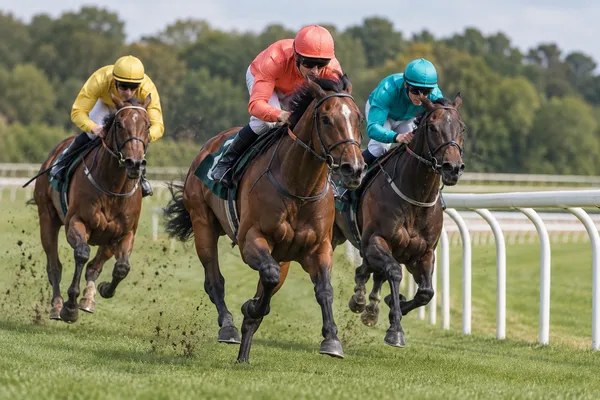
Horse racing
Put racehorses on the course map, review speed through training gallops and feed movement data into race coverage or stable analysis tools.
YOUR PROJECT, TAILOREDAgree a suitable lightweight mounting method with the team and match the recording profile to the course. Timing and performance metrics are defined for the project.
Discuss this idea ↗ Application illustration · Deployment scoped to your needs.
 ↗
↗Sport & production
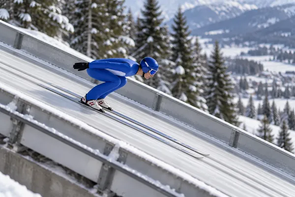
Ski jumping — speed analysis
Explore a recorded speed profile through the in-run, takeoff and flight. Connect the jump to video so coaches can review movement in context.
YOUR PROJECT, TAILOREDValidate recording rate, mounting, cold-weather operation and measurement accuracy against a reference. Official takeoff-speed measurement requires a validated timing system.
Discuss this idea ↗ Application illustration · Deployment scoped to your needs.
 ↗
↗RC & model making
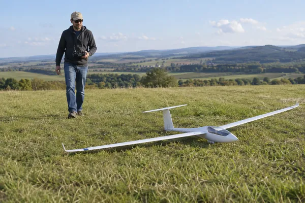
RC aircraft & gliders
Explore using available flight history and the last received position to help search after an off-site landing.
YOUR PROJECT, TAILOREDAssess mass, balance, mounting, impact resistance and reception after landing.
Discuss this idea ↗ Application illustration · Deployment scoped to your needs.
 ↗
↗Animals & location sharing
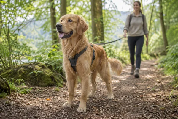
Dogs & other pets
Explore a dedicated product for viewing a pet’s location and revisiting its walks.
YOUR PROJECT, TAILOREDDevelop suitable attachment, weight, water protection, charging and an owner-facing application.
Discuss this idea ↗ Application illustration · Deployment scoped to your needs.
 ↗
↗Recreation & events
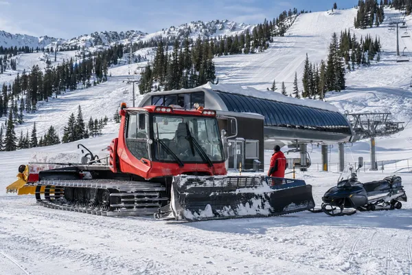
Ski-resort fleets
Explore one location view for snow groomers, snowmobiles, ATVs and technical teams.
YOUR PROJECT, TAILOREDValidate cold-weather operation, installation, power and coverage. Slope quality needs a separate measurement.
Discuss this idea ↗ Application illustration · Deployment scoped to your needs.
 ↗
↗On the water
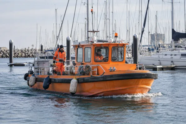
Marina & harbour workboats
Give operators a common location view of service, inspection and maintenance boats.
YOUR PROJECT, TAILOREDIntegrate tasks and prepare a mounting and power setup for regular operation.
Discuss this idea ↗ Application illustration · Deployment scoped to your needs.
 ↗
↗Sport & production
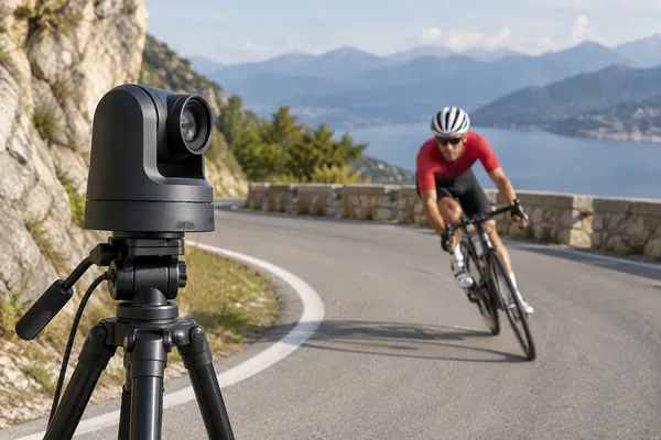
Position-guided cameras
Explore using tracker positions as an input to a camera system that follows a moving subject.
YOUR PROJECT, TAILOREDA custom integration needs camera geometry, calibration, latency checks and a PTZ controller.
Discuss this idea ↗ Application illustration · Deployment scoped to your needs.
 ↗
↗Research & field science
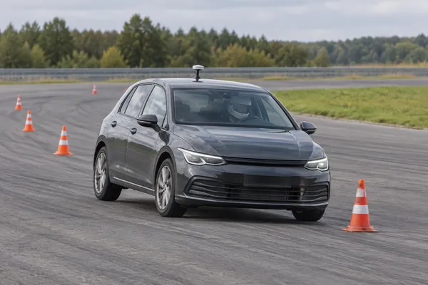
Precision test-track trajectories
Explore measurement of route repeatability and trajectory changes during controlled test runs.
YOUR PROJECT, TAILOREDA dedicated RTK configuration, timestamp alignment and measurement validation are required.
Discuss this idea ↗ Application illustration · Deployment scoped to your needs.
 ↗
↗Luggage & overland travel
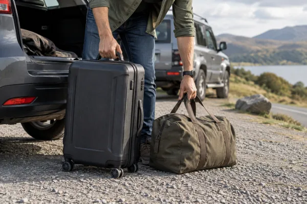
Luggage on overland journeys
Explore an additional location record for a bag or equipment case moving between vehicles.
YOUR PROJECT, TAILOREDPilot device size, charging and reception inside luggage compartments. Air-travel suitability needs a separate assessment.
Discuss this idea ↗ Application illustration · Deployment scoped to your needs.
 ↗
↗RC & model making
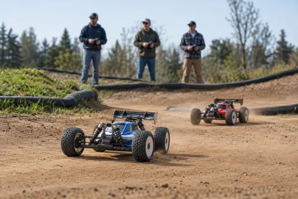
Club practice & session coverage
Explore shared model locations and recorded practice sessions for several drivers at an outdoor venue.
YOUR PROJECT, TAILOREDTest separation between nearby models. Tight circuits may require a more precise positioning system.
Discuss this idea ↗ Application illustration · Deployment scoped to your needs.
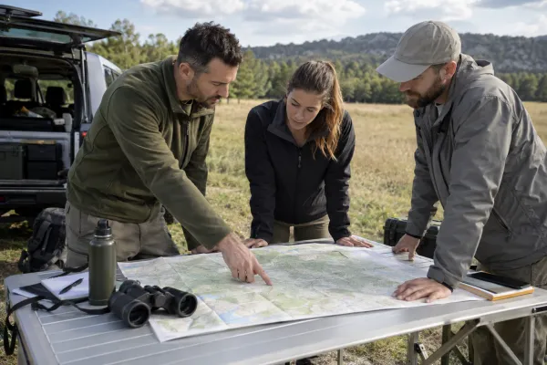 ↗
↗Field training
Reviewing field exercises
Explore recording the routes of groups, vehicles and equipment for a post-exercise review.
YOUR PROJECT, TAILOREDA dedicated project must define data access, infrastructure requirements and independently verified connectivity conditions.
Discuss this idea ↗ Application illustration · Deployment scoped to your needs.
 ↗
↗Fleets & services
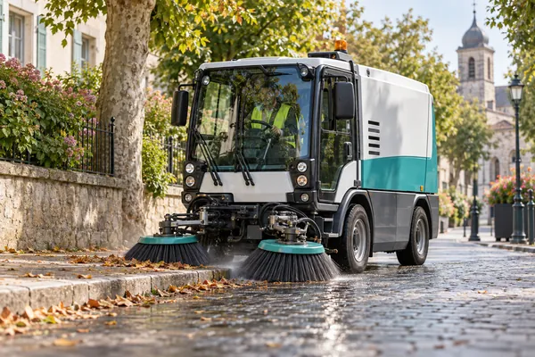
Waste collection & street sweeping
Review the routes of municipal vehicles and keep an overview of the fleet.
YOUR PROJECT, TAILOREDCollection and sweeping confirmation require activity data in addition to location.
Discuss this idea ↗ Application illustration · Deployment scoped to your needs.
 ↗
↗Industry & terminals
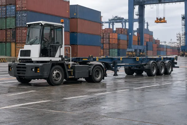
Port-terminal trailers & equipment
Track transport units that move between different towing vehicles around a terminal.
YOUR PROJECT, TAILOREDTest antennas near metal, protect the device and connect each unit to its assignment.
Discuss this idea ↗ Application illustration · Deployment scoped to your needs.
 ↗
↗Recreation & events
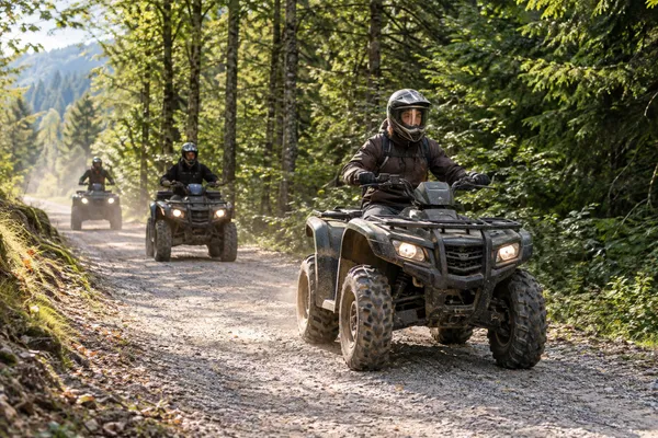
Guided outdoor tours
Follow groups of quads, buggies, bicycles or scooters from the base and revisit the route afterwards.
YOUR PROJECT, TAILOREDCheck coverage along the route and define how trackers are assigned to participants or vehicles.
Discuss this idea ↗ Application illustration · Deployment scoped to your needs.
 ↗
↗RC & model making
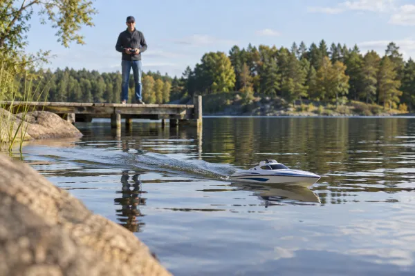
RC boats & bait boats
Explore viewing boat positions from shore and comparing recorded propulsion test runs.
YOUR PROJECT, TAILOREDDesign water protection, buoyancy and antenna placement. Boat control remains a separate system.
Discuss this idea ↗ Application illustration · Deployment scoped to your needs.
 ↗
↗Agriculture & nature
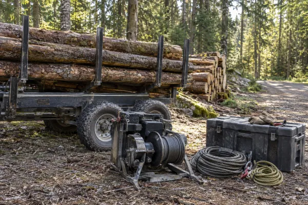
Forestry team equipment
Keep location records for trailers, winches and portable equipment left between forestry jobs.
YOUR PROJECT, TAILOREDPilot the power setup and check cellular coverage and GNSS reception under tree cover.
Discuss this idea ↗ Application illustration · Deployment scoped to your needs.
 ↗
↗Animals & location sharing
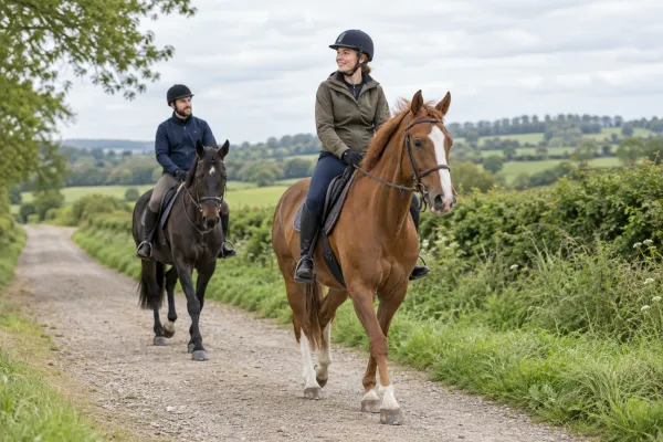
Horse riding & outdoor training
Record riding routes, review sessions and explore a group location view during outings.
YOUR PROJECT, TAILOREDValidate attachment and data interpretation. GPS does not provide the horse’s health measurements.
Discuss this idea ↗ Application illustration · Deployment scoped to your needs.
 ↗
↗Fleets & services
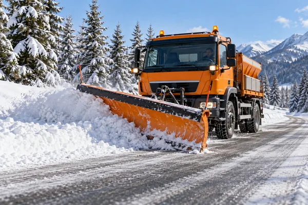
Snowploughs & road maintenance
Map vehicle journeys and combine them with work data to review the areas served.
YOUR PROJECT, TAILOREDPlough position and salt spreading need separate signals from the vehicle or work system.
Discuss this idea ↗ Application illustration · Deployment scoped to your needs.
 ↗
↗On the water
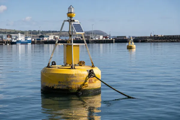
Buoys & floating work equipment
Explore position monitoring for movable markers and equipment on the water’s surface.
YOUR PROJECT, TAILOREDProvide power and water protection. Movement alerts must account for natural drift and GNSS error.
Discuss this idea ↗ Application illustration · Deployment scoped to your needs.
 ↗
↗Industry & terminals
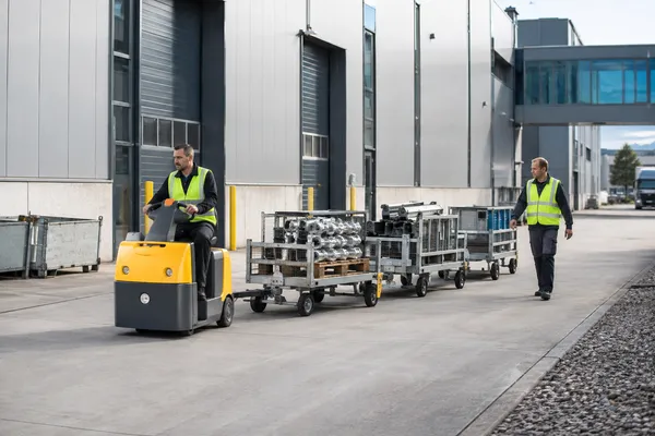
Transport between factory buildings
Map carts and trailers moving outdoors between production buildings and warehouses.
YOUR PROJECT, TAILOREDConnect your production system and assess positioning separately when vehicles enter buildings.
Discuss this idea ↗ Application illustration · Deployment scoped to your needs.
 ↗
↗Recreation & events
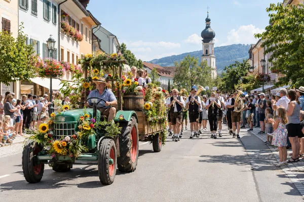
Parades & processions
Help waiting spectators follow the front, back or selected attractions of a moving event.
YOUR PROJECT, TAILOREDPrepare a public map, assign tracker roles and set the times when locations are shared.
Discuss this idea ↗ Application illustration · Deployment scoped to your needs.
 ↗
↗Agriculture & nature
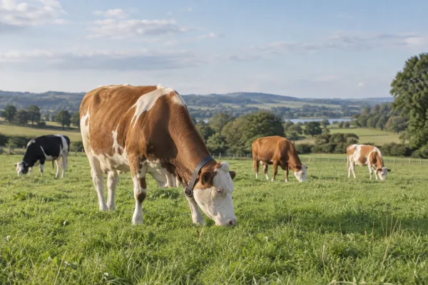
Large-animal grazing studies
Explore tracking selected animals to study their movement and use of grazing areas.
YOUR PROJECT, TAILOREDA dedicated design must address welfare, attachment, battery life and durability. One animal does not represent the whole herd.
Discuss this idea ↗ Application illustration · Deployment scoped to your needs.
 ↗
↗Animals & location sharing
Family location sharing
Explore a dedicated family product that lets parents and carers view a child’s shared location.
YOUR PROJECT, TAILOREDDesign the complete wearing, charging, sharing and notification experience. An SOS feature is separate scope.
Discuss this idea ↗ Application illustration · Deployment scoped to your needs.
 ↗
↗Fleets & services
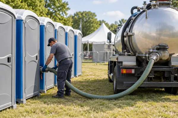
Sanitation service fleets
Connect vehicle routes with dispersed service points and the timing of visits.
YOUR PROJECT, TAILOREDConfirm completed work through an application or a separate measurement.
Discuss this idea ↗ Application illustration · Deployment scoped to your needs.
 ↗
↗On the water
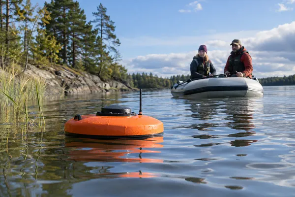
River & lake research drifters
Record the route of a purpose-built float as part of a study of water movement.
YOUR PROJECT, TAILOREDA research pilot must address float design, wind effects and retrieval.
Discuss this idea ↗ Application illustration · Deployment scoped to your needs.
 ↗
↗Industry & terminals
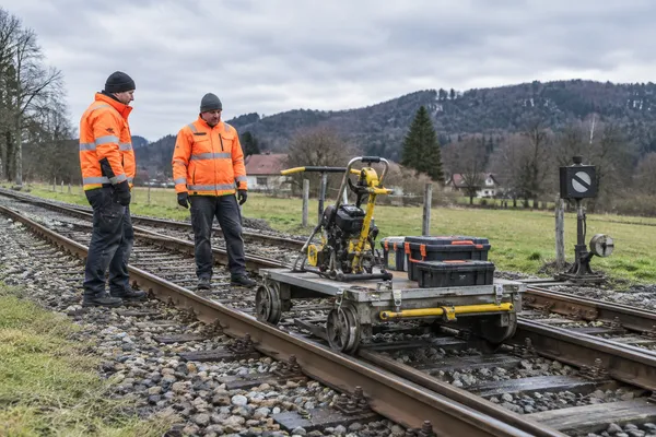
Rail-maintenance equipment
Help teams locate portable equipment and work carts moving between maintenance sites.
YOUR PROJECT, TAILOREDTailor inventory and coordination workflows. This application does not cover railway traffic control.
Discuss this idea ↗ Application illustration · Deployment scoped to your needs.
 ↗
↗RC & model making
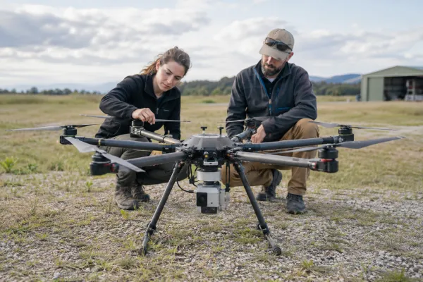
Larger drones & flying prototypes
Add an independent source of position telemetry and a supplementary record of test flights.
YOUR PROJECT, TAILOREDValidate the aircraft’s payload fit. The tracker does not replace an autopilot or control link.
Discuss this idea ↗ Application illustration · Deployment scoped to your needs.
 ↗
↗Agriculture & nature
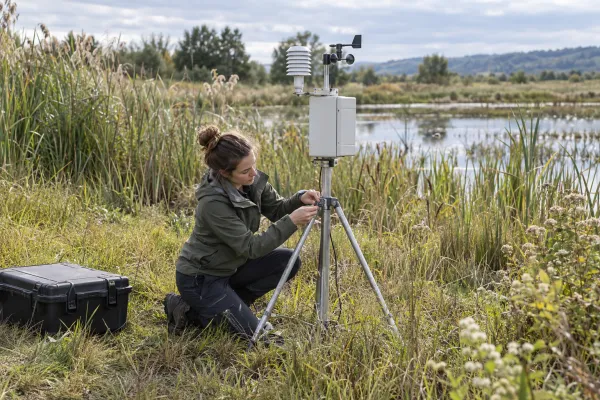
Portable field-research installations
Keep a record of where research equipment is installed and how it moves during a campaign.
YOUR PROJECT, TAILOREDPlan power for the campaign. Environmental readings come from separate instruments.
Discuss this idea ↗ Application illustration · Deployment scoped to your needs.
 ↗
↗Animals & location sharing
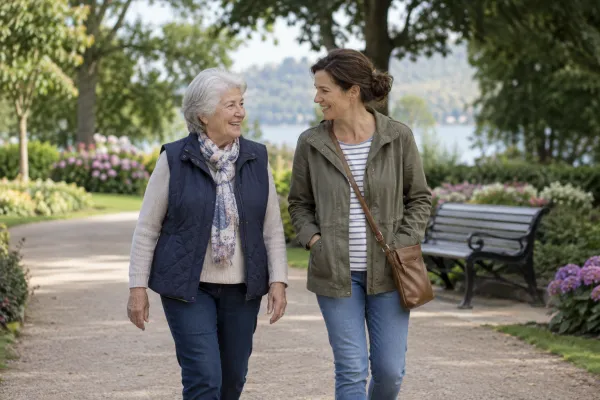
Location sharing for people needing support
Explore agreed location sharing to help a person and their carers with orientation and finding the way.
YOUR PROJECT, TAILOREDPrioritise consent, comfortable wear and simple charging. This is a dedicated project, not a medical care system.
Discuss this idea ↗ Application illustration · Deployment scoped to your needs.
 ↗
↗Fleets & services
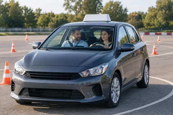
Driving-school vehicles
Keep a record of training routes as a starting point for discussing lessons.
YOUR PROJECT, TAILOREDLink journeys to lessons. Any driving-style assessment needs validated metrics.
Discuss this idea ↗ Application illustration · Deployment scoped to your needs.
 ↗
↗Fleets & services
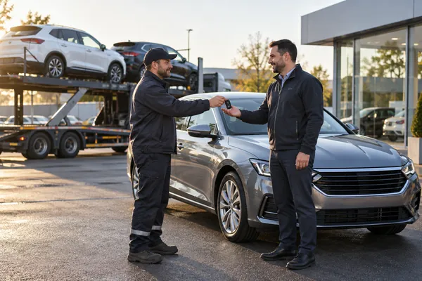
Vehicle relocation & delivery
Use a temporary tracker while a vehicle travels between branches or to its customer.
YOUR PROJECT, TAILOREDDefine simple installation, device handover and return procedures.
Discuss this idea ↗ Application illustration · Deployment scoped to your needs.
 ↗
↗Fleets & services
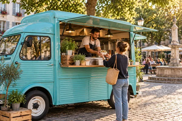
Food trucks & mobile vendors
Build a public location map for mobile food businesses alongside an operator’s fleet view.
YOUR PROJECT, TAILOREDControl publication times and connect separate opening-hours and trading-status information.
Discuss this idea ↗ Application illustration · Deployment scoped to your needs.
 ↗
↗Fleets & services
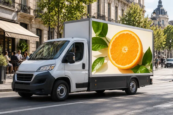
Mobile advertising campaigns
Use vehicle routes and time in campaign areas as inputs to campaign reporting.
YOUR PROJECT, TAILOREDDefine a reporting method separately; location does not measure the number of people who saw an advertisement.
Discuss this idea ↗ Application illustration · Deployment scoped to your needs.
 ↗
↗Sport & production
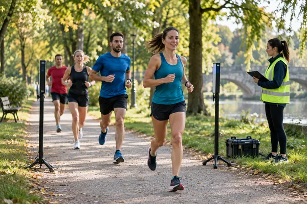
An extra layer for timing services
Extend a timing service with tracking between checkpoints and a map for spectators.
YOUR PROJECT, TAILOREDLink trackers to participants and results. Official finish timing requires a separate assessment.
Discuss this idea ↗ Application illustration · Deployment scoped to your needs.
 ↗
↗Sport & production
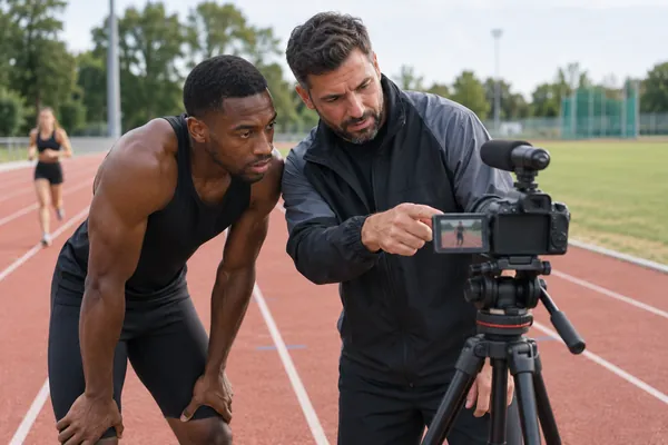
Training alongside video
Connect a moment in a recording with the athlete’s location and progress through a session.
YOUR PROJECT, TAILOREDA dedicated workflow synchronises timestamps and imports the recording.
Discuss this idea ↗ Application illustration · Deployment scoped to your needs.
 ↗
↗Sport & production
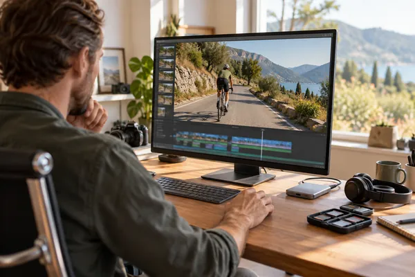
Find footage by location
Help production teams find video recorded along a particular route segment or at a specific place.
YOUR PROJECT, TAILOREDAlign tracker and recording times, then connect the data to your media catalogue.
Discuss this idea ↗ Application illustration · Deployment scoped to your needs.